NASA - SatCORPS - NASA Langley Satellite Support Website for Pacific Dust Experiment (PACDEX)
NASA Langley Satellite Support Website for Pacific Dust Experiment (PACDEX)
NASA Langley Satellite Support Website for Pacific Dust Experiment (PACDEX)
Latest MTSAT Infrared Image Taken on May 5, 2007 15:33 UTC
| Latest Image: MTSAT-1 IR , Vis, WV GOES-11 IR , Vis, WV |
| Latest Loop: MTSAT-1IR , VIS , WV , GOES-11 IR , VIS , WV, |
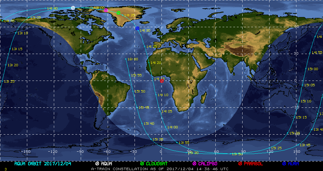
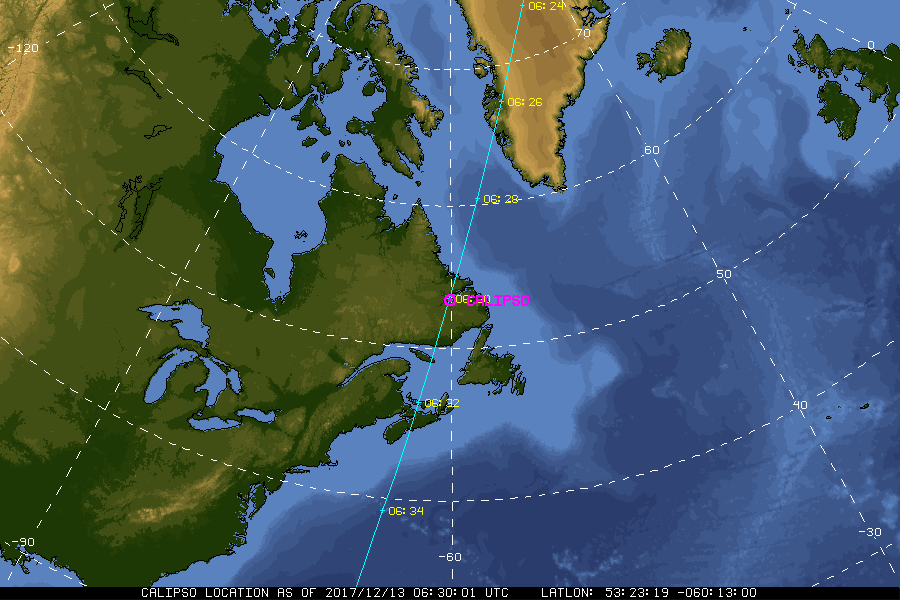
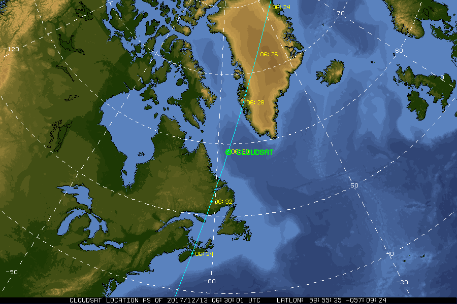
| Current Location of A-Train Satellites (updated every 30 sec) | ||
|
|
|
| A-Train | Calipso | CloudSat |
|
Google Earth KML file: - Real-time MTSAT-1 & GOES-West Satellite Imagery for PACDEX Region download this kml file and open with Google Earth |
|
|
NASA Fact
On March 16, 1926, Dr. Robert H. Goddard successfully launched the first liquid fueled rocket. The launch took place at Auburn, Massachusetts, and is regarded by flight historians to be as significant as the Wright Brothers flight at Kitty Hawk.
- + Freedom of Information Act
- + Budgets, Strategic Plans and Accountability Reports
- + The President's Management Agenda
- + Privacy Policy and Important Notices
- + Inspector General Hotline
- + Equal Employment Opportunity Data Posted Pursuant to the No Fear Act
- + Information-Dissemination Priorities and Inventories
- + USA.gov
- + ExpectMore.gov
- NASA Official: William Smith
- Website Curator: Louis Nguyen
- + Contact Langley
- + Contact Team Members